Ball’s Falls
Ball’s Falls
Lincoln, Ontario
Binbrook
Binbrook
Binbrook, Ontario
Chippawa Creek
Chippawa Creek
Wellandport, Ontario
Long Beach
Long Beach
Wainfleet, Ontario
Rockway
Rockway
Lincoln, Ontario
Beamer Memorial
Beamer Memorial
Grimsby, Ontario
Binbrook Tract
Binbrook Tract
Binbrook, Ontario
Canborough
Canborough
Dunnville, Ontario
Cave Springs
Cave Springs
Lincoln, Ontario
Comfort Maple
Comfort Maple
Fenwick, Ontario
E.C. Brown
E.C. Brown
Welland, Ontario
Gainsborough
Gainsborough
Fenwick, Ontario
Gord Harry Trail
Gord Harry Trail
Port Colborne, Ontario
Hedley Forest
Hedley Forest
Haldimand, Ontario
Humberstone Marsh
Humberstone Marsh
Port Colborne, Ontario
Jordan Harbour
Jordan Harbour
Lincoln, Ontario
Morgan’s Point
Morgan’s Point
Wainfleet, Ontario
Mountainview
Mountainview
Beamsville, Ontario
Mud Lake
Mud Lake
Port Colborne, Ontario
Port Davidson
Port Davidson
West Lincoln, Ontario
Ruigrok Tract
Ruigrok Tract
Haldimand, Ontario
Shriners Creek
Shriners Creek
Niagara Falls, Ontario
Smith Ness
Smith Ness
Niagara Falls, Ontario
St. Johns
St. Johns
Fonthill, Ontario
Stevensville
Stevensville
Fort Erie, Ontario
Two Mile Creek
Two Mile Creek
Niagara-on-the-Lake, Ontario
Virgil
Virgil
Virgil, Ontario
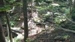
Wainfleet Bog
Wainfleet Bog
Wainfleet, Ontario
Wainfleet Wetlands
Wainfleet Wetlands
Wainfleet, Ontario
Willoughby Marsh
Willoughby Marsh
Niagara Falls, Ontario
Woolverton
Woolverton
Grimsby, Ontario
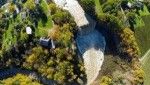
Wainfleet Bog
A NATURAL TREASURE FOR REHABILITATION
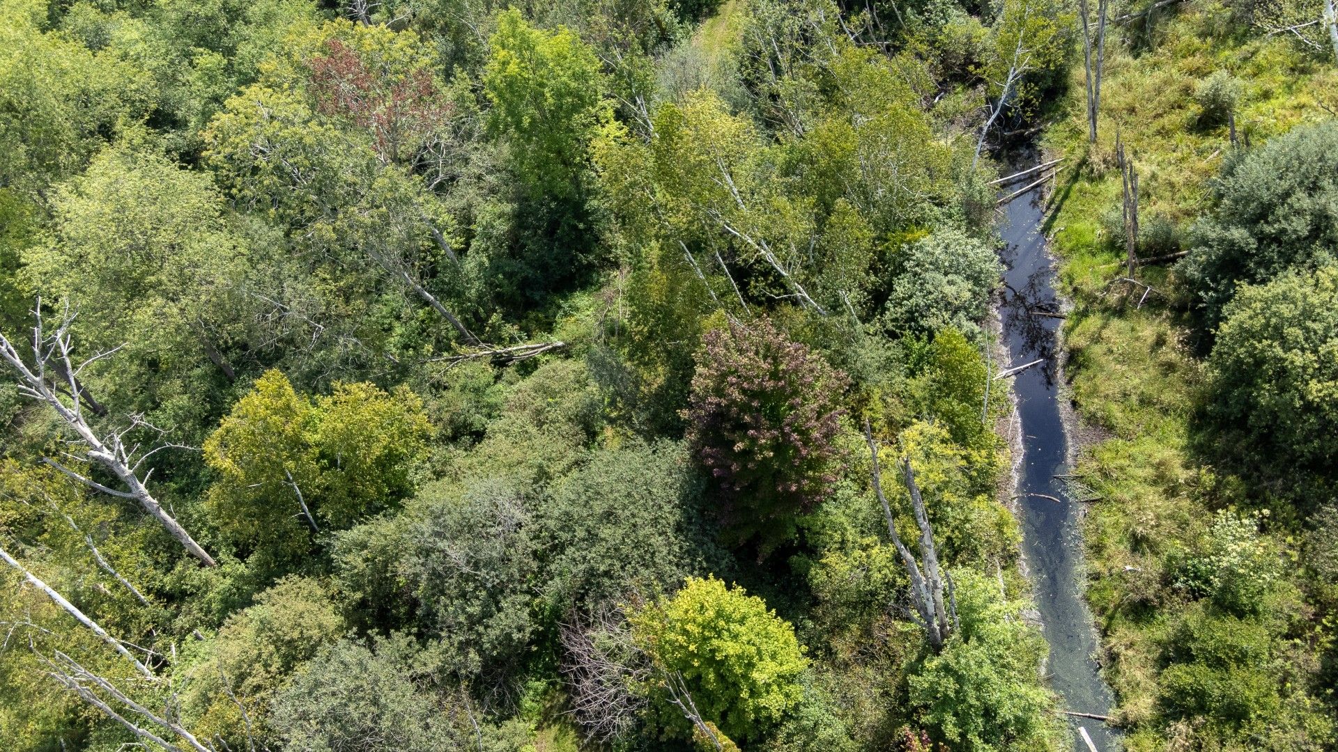
The Wainfleet Bog Conservation Area is located within the Niagara Peninsula of Southern Ontario, (in the Township of Wainfleet and City of Port Colborne) and is part of the only bog wetland in the Niagara Peninsula. It is provincially, regionally and locally significant and the largest remaining bog within southern Ontario, providing habitat to a variety of unique plants and animals. Its existing peat layer and past site uses also contribute to the area's local historical record. These environmental, social and economical aspects therefore attest to the value of the Wainfleet Bog. The underlying peat material has live sphagnum moss and other bog plants growing on top, like Labrador Tea, Cotton Grass and Leatherleaf, making it different from other wetland areas.
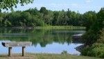
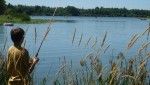
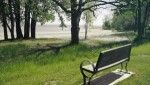
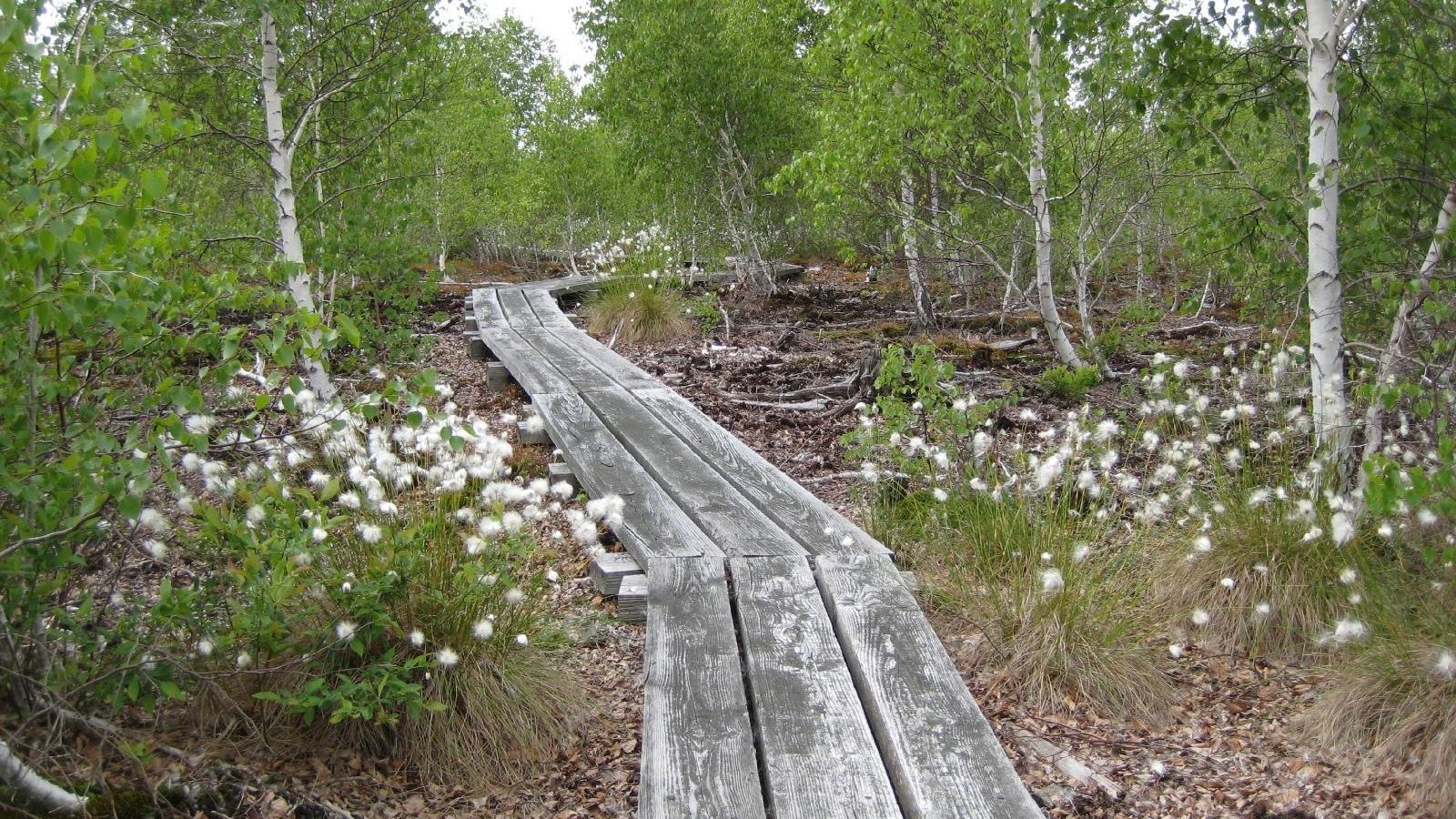
Trails and boardwalks wind you through this wet, wild and wonderful place. Bog plants, butterflies, migrating songbirds and animals make their homes in the restored habitat sections. Enjoy your day visit along hiking trails with interpretative signs and ample nature appreciation opportunities.
Bog Issues – Background for Recovery
Relatively young in geologic terms, this domed bog was formed between 12,000 and 5,000 years ago as the glaciers from the last Ice Age melted and retreated. Water ponded in the low, flat land behind the adjacent Onondaga Escarpment, which prevented surface water from draining south to Lake Erie. Over time this open water area filled in as plants died and provided a habitat for unique flora and fauna able to withstand the acidic and low nutrient conditions.
As a result of expanding agricultural, peat extraction and transportation activities within and around the bog, it has decreased in size and function. From over 200 years of such activity, the remnant bog is presently 1460 hectares (3607 acres). Measures to remediate/ slow the factors degrading this ecosystem are imperative to the local, national and international environmental and scientific realm.
Main Factors Impacting the Bog
- Past peat extraction
- Drainage
Result of Impacts on the Bog
- Lowered water table
- Drier, less acidic site conditions
- Land alterations favour more upland plant and animal species
- Non-native European birch colonize the site
Recovery Objectives
- Restore the bog to a healthier state
- Re-establish the development of a peat dome formation and natural bog processes through ecologically self-sustaining restoration techniques of limited to no human intervention
- Provide educational and scientific opportunities
- Be of minimal cost
Recovery/ Rehabilitation Activity
The west half of the property received rehabilitation activity, while the east half is maintained as status quo for existing species to adapt to changes. Within this selected area:
- Several internal peat canals are blocked to maintain water levels at the site.
- Bare peat fields have been treated with shallow surface indentations to maintain water on the site.
- Surface indentations have been planted with native plant material to provide food and cover for plants and animals at the bog. Plantings included seeds, hardstem cutting and plugs of leatherleaf, labrador tea, sheep laurel, and blueberry among others. To maintain moisture, minimize frost upheaval and assess technique, ‘Weed Free’ Straw mulch was used on the plantings, while also maintaining some as controls.
- Half of the non-native European Birch trees have been cut to assist in maintaining water levels at the site, minimize surface temperatures and soil and provide surface cover for small mammals, reptiles and amphibians.
- A monitoring program has been established to evaluate the rehabilitation activities including ground water levels, vegetation changes and sensitive animal populations for the site over time.
As with our other projects, the involvement and assistance of many have made this rehabilitation a reality including: the area community, local and area conservation clubs, nature clubs, universities, local municipalities, and government agencies through general labour, funds, monitoring and inventory assistance.
For additional information, photos, or updates, contact conservationareas@npca.ca.
For information on hunting at this site, please visit npca.ca/administration/hunting-application.